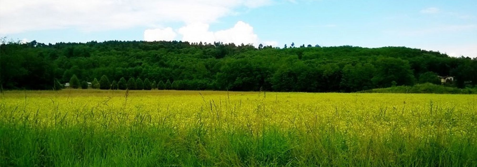
Monte San Giacomo (427 m) is the highest point in the Parco del Ticino and offers a mix of nature, history, and wildlife, with forests of pines, chestnuts, oaks and rich biodiversity including owls, squirrels and salamanders.
The loop starts from Bosco di Capra near Vergiate, following the Percorso Ginnico No. 1 into the forest. After a steady climb, the trail reaches the Selletta di Cuirone crossroads and continues uphill toward the summit, with a short final detour to the top of Monte San Giacomo.
The route then descends through woodland paths towards Boffalora, crosses the village via an underpass, and continues along dirt roads skirting the mountain back to Cuirone. From Via San Giacomo, it rejoins the Ornitological Trail (marked in red), which climbs back to the hilltop crossroads and returns to the starting point.
A varied circular hike combining forest scenery, quiet villages and panoramic woodland landscapes in the heart of the Ticino Park.
DETAILS:
- Duration: 4 hours
- Distance: 12 km
- Difficulty: medium
- Altitude: 160 mt
- Starting point: Vergiate
- Arrival point: Monte San Giacomo
- Parking: yes
NOT TO BE MISSED:
*It is recommended to use GPS.
Complete your journey: reach your destination thanks to Trenitalia





















 Varese