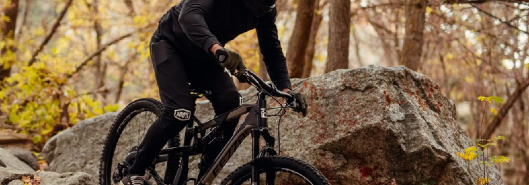
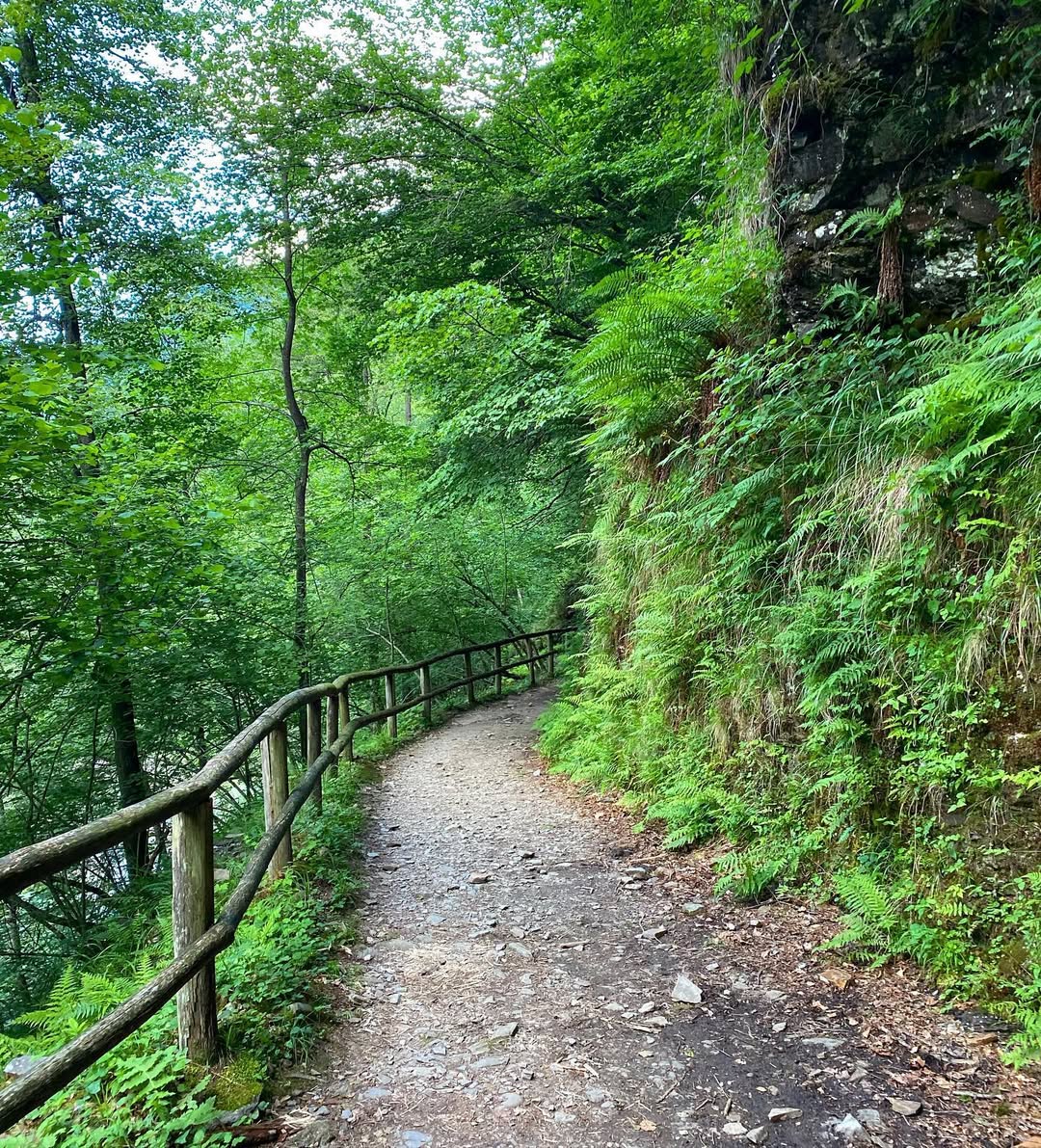
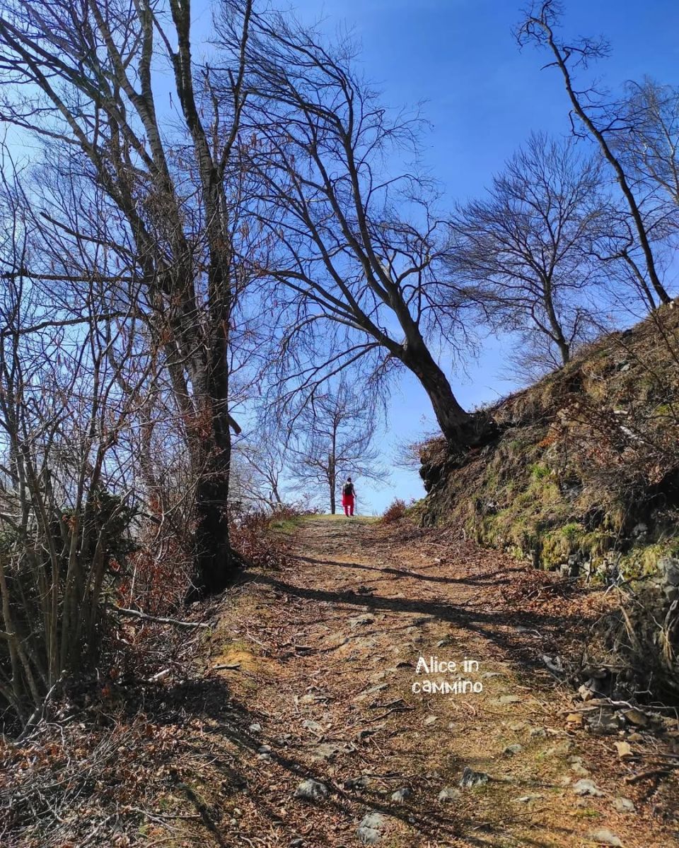
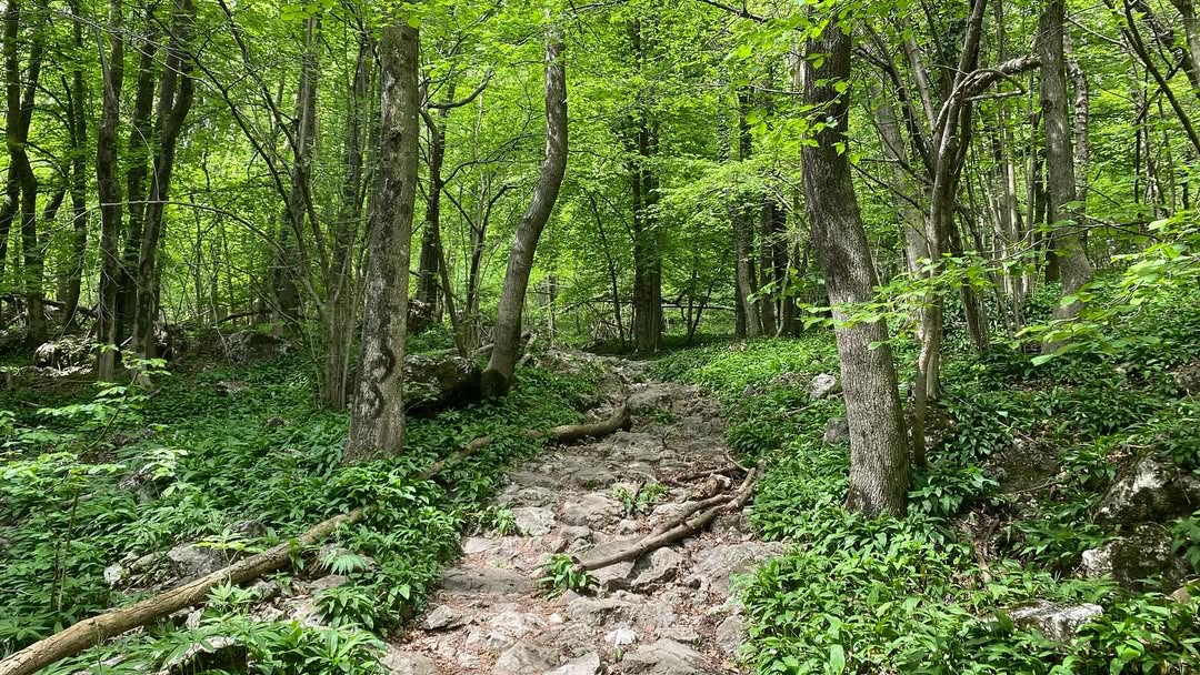
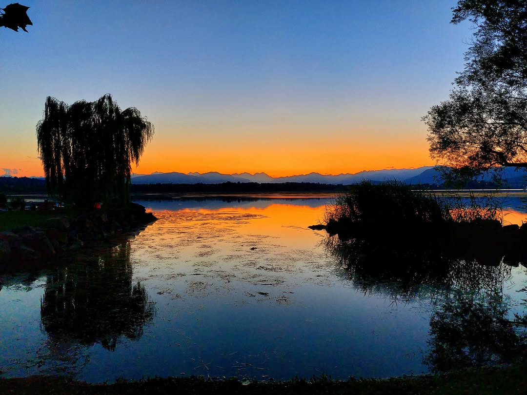
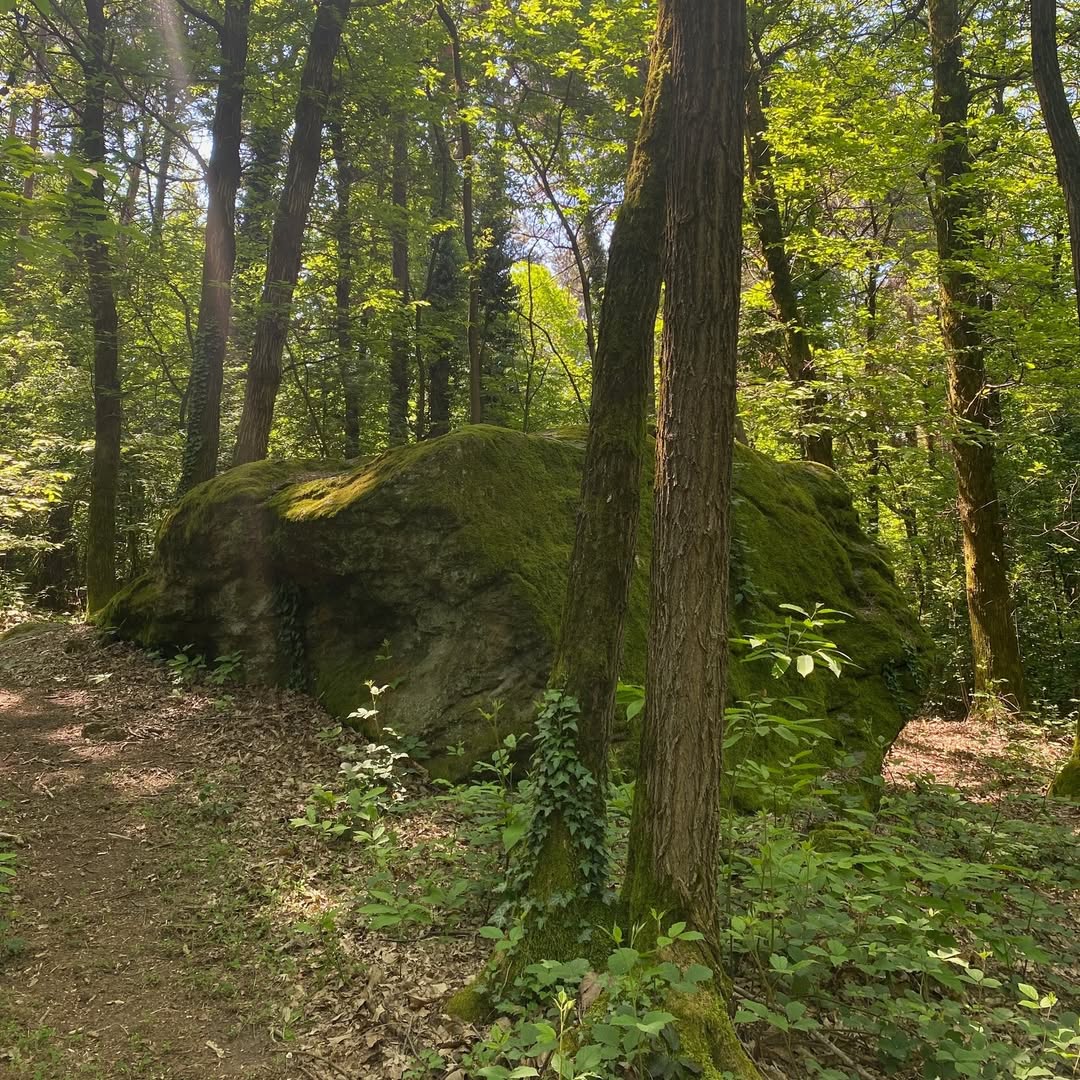
Cycling by Mountain Bike in the province of Varese means experiencing an authentic adventure among dirt paths, dense woods, panoramic ridges and views of rare beauty. It is a territory that surprises at every bend, where nature intertwines with history, giving emotions with every pedal stroke. From the challenging climbs of Campo dei Fiori to the rolling hills of Valganna, passing through the wild banks of Ticino and the rural landscapes of Alto Olona, each MTB route tells a different story, made up of silences, breathtaking views and ancient recovered routes.
Whether you are an experienced biker looking for adrenaline or a nature enthusiast ready to explore calmly, the dirt routes of the Varese area offer technical itineraries, compelling single tracks and accessible itineraries for those who love off-roading in the midst of greenery.
An invitation to rediscover the province from a dynamic and environmentally friendly perspective, on two wheels and with the spirit of adventure.
ITINERARIES MTB:
- TOUR OF THE ITALIAN-SWISS MOUNTAIN PASTURES
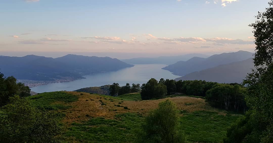
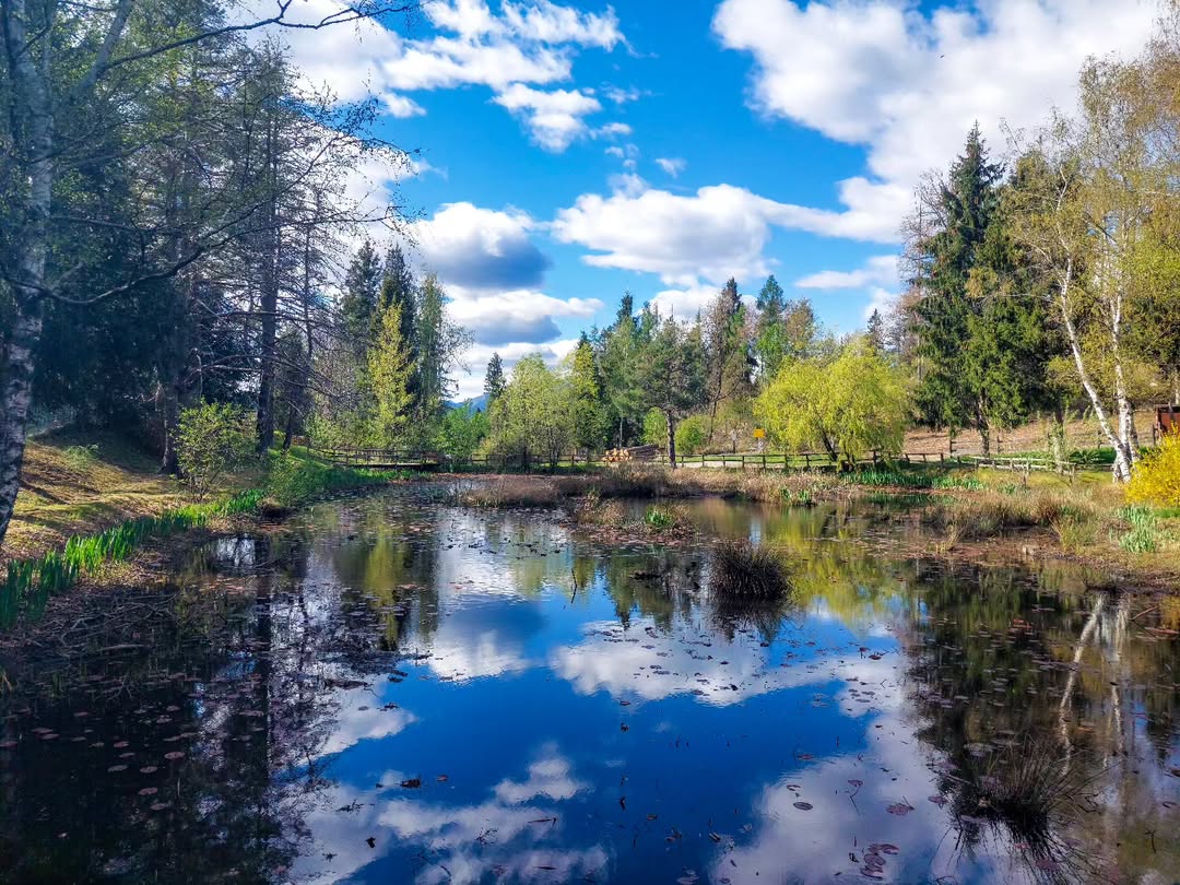
A challenging and panoramic circular MTB route that starts from Maccagno and goes up Val Veddasca to Forcora, among woods, mountain pastures and spectacular views of Lake Maggiore. After an intense climb, you cross the pastures of Mount Covreto, and then descend onto a technical stretch surrounded by greenery.
The return, along the Swiss shore of the lake, offers a relaxing ending between nature and suggestive views. With over 1,000 m of altitude difference and approximately 30-50 km in length, it is the ideal itinerary for bikers looking for excitement between two countries and two Alpine souls.
@exploreinsubria and @superlau72
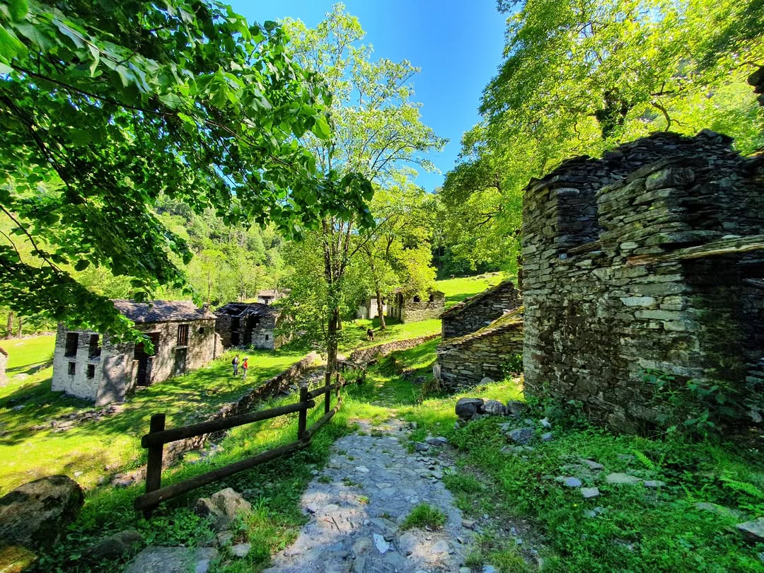
A circular MTB itinerary that crosses the wild Val Veddasca, among stone villages, pastures and panoramic ridges. From Lake Delio you go up towards Monterecchio and the Forcora Pass, and then face a technical stretch on Monte Cadrigna.
The return passes through Alpe Quadra and the Monti di Pino, among woods and suspended paths overlooking Lake Maggiore. The length is approximately 20-30 km between nature, effort and Alpine beauty.
@ulissepiana and @luinonotizie
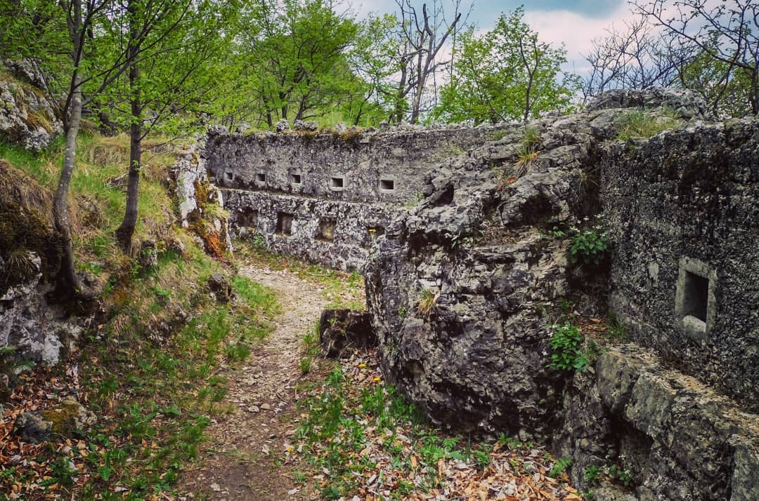
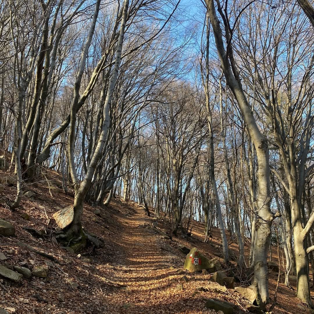
The route winds for approximately 30-50 km with over 1000 meters of altitude difference, and is suitable for sports bikers. Starting from Valcuvia, you go up on asphalt to the painted village of Arcumeggia, then continuing on a dirt military road towards Mount S. Martin. From here it is possible to detour for a panoramic view of Mount Colonna. After the descent into the beech forest you reach Alpe di Duno, crossing the trail “L'Aves”. Go up towards Valalta, among the fortifications of the Cadorna Line, from which the technical S.Mart Trail starts which leads to Cantevria. From here you can choose between the smoother variant or the more technical and adrenaline-filled trail.
@ulissepiana and @aliceincammino
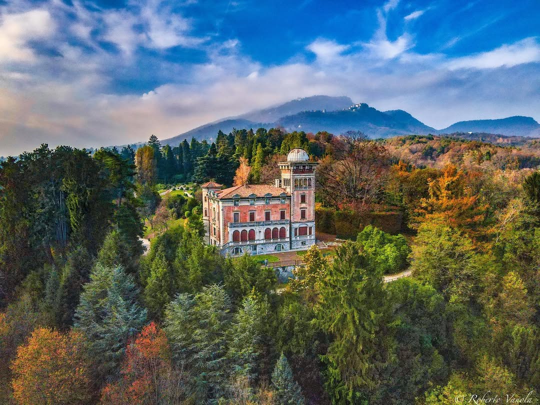
- FROM LAKE VARESE TO THE FORT OF ORINO
The route is a ring of approximately 30-50 km suitable for medium-trained cyclists. It starts from the Sacro Monte of Varese and goes up to the Fort of Orino, offering broad views of the Pre-Alps. From here you descend towards Lake Varese, following cycle paths and secondary roads immersed in woods and villages. The return takes place along the lake cycle path, closing a panoramic and varied itinerary, also ideal for e‑bikes.

@medwin82 and @varesenews
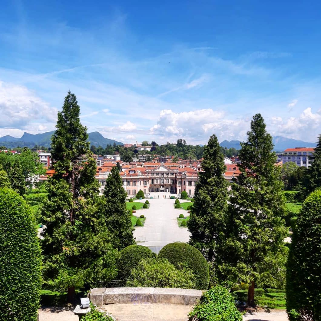
The route was designed for lovers of sports cycle tourism, covers approximately 37 km with a difference in altitude of approximately 850 m and requires almost 4 hours of pedaling. We start from Varese‑Casbeno station, cross the Estensi Gardens and admire the spectacular Bernascone bell tower; you then reach Villa Panza, Ville Ponti and the Biumo Superiore hill up to Villa Toeplitz. Continue on a dirt road towards Monte Martica passing through the Tagliata Pond, then descend to Villaggio Cagnola to visit the sources of the Olona River. The route touches the First Chapel of the Via Sacra and the Sacro Monte of Varese, climbs the Velate tower and on the way back passes through the Rampegana Tower of Casciago and the Valletta fountain of Masnago.
@robyilcampione and @photosewonders
- THE ROUTE OF THE ITALIAN-SWISS FOSSILS
The fossil route between Italy and Switzerland starts from the lakeside of Porto Ceresio and extends for approximately 30‑50 km with a difference in altitude of over 1000 m, requiring 2‑4 hours of pedaling and good training. Follow the cycle path and dirt roads towards the exceptional fossiliferous sites of Mount San Giorgio, with panoramic stops and the climb to Sasso Caldo, where the famous Besanosaurus was found, a marine reptile about 6 meters long. You cross the border with Switzerland up to Meride, where the Fossil Museum designed by Mario Botta is located, and return along an educational path up to Besano. An ideal itinerary for nature, geology and history enthusiasts.
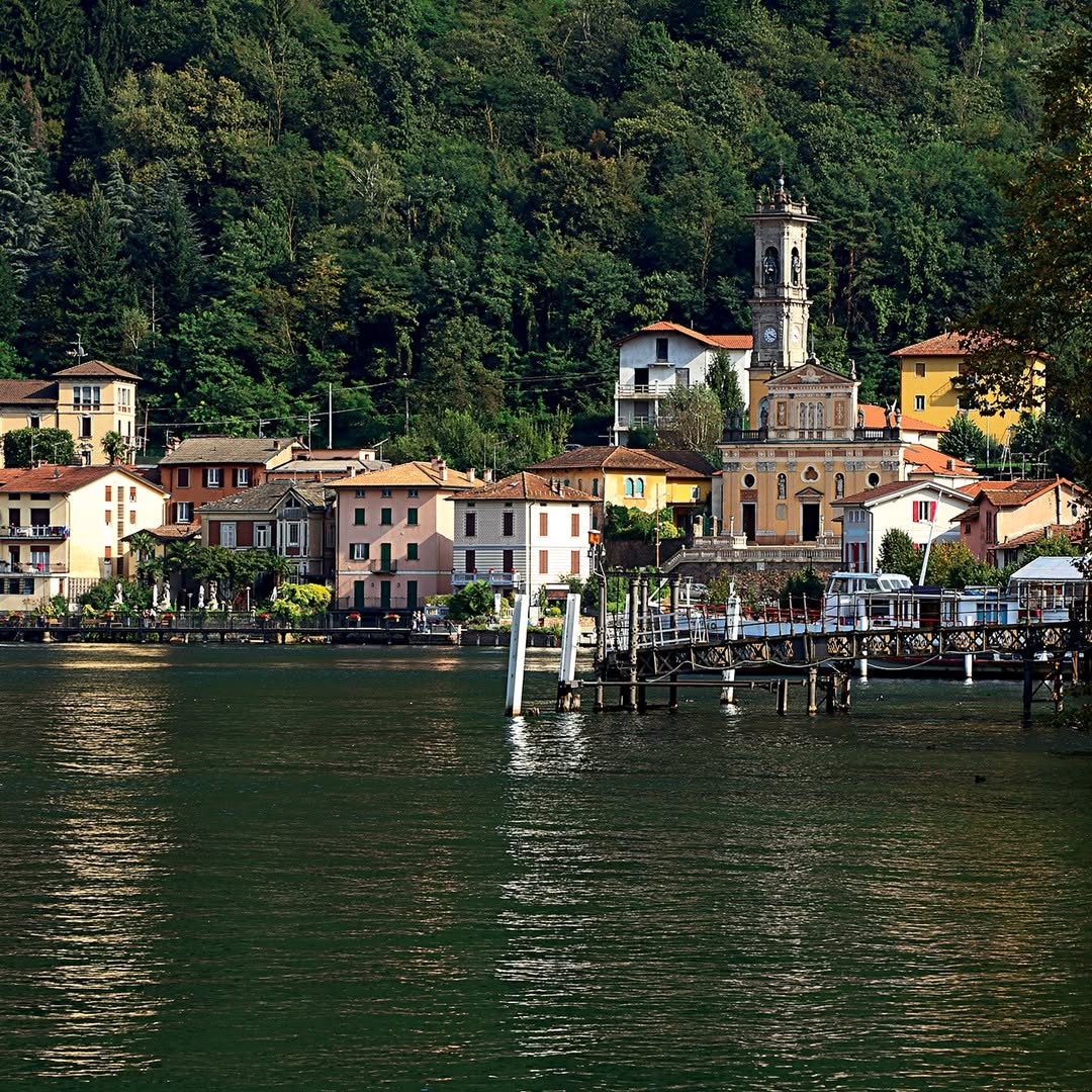
@itinerarieluoghi and @tipsweek.ch
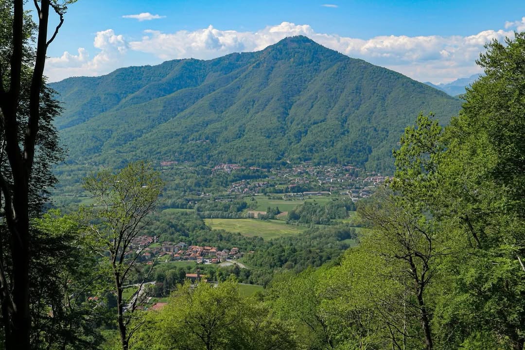
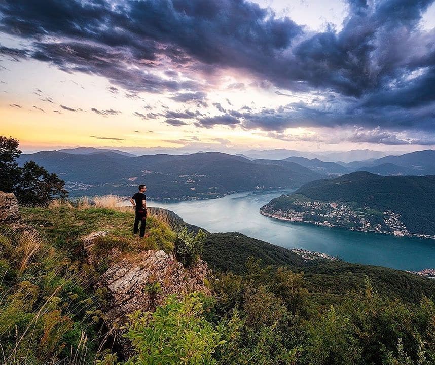
The Mount Orsa route is a circular itinerary of approximately 30‑50 km and lasts between 2 and 4 hours. We start from the town of Viggiù and climb through the historic Cadorna Line, alternating asphalt and dirt sections, almost to the summit of Mount Orsa (998 m), from which you can enjoy a splendid view of Lake Lugano, the Pre-Alps and the Swiss Alps. The finish is particularly challenging: steep climbs, mixed paving and a short push section due to stony terrain require experience and preparation. After a panoramic stop you can continue up to Mount Pravello for a second glimpse of the hill, then finally descend towards Besano completing the circular tour.
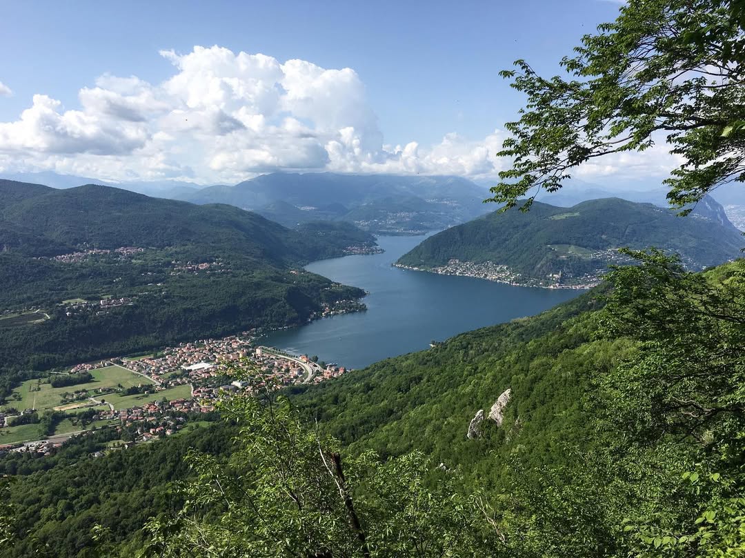
@alessia_losi and @filippi_73
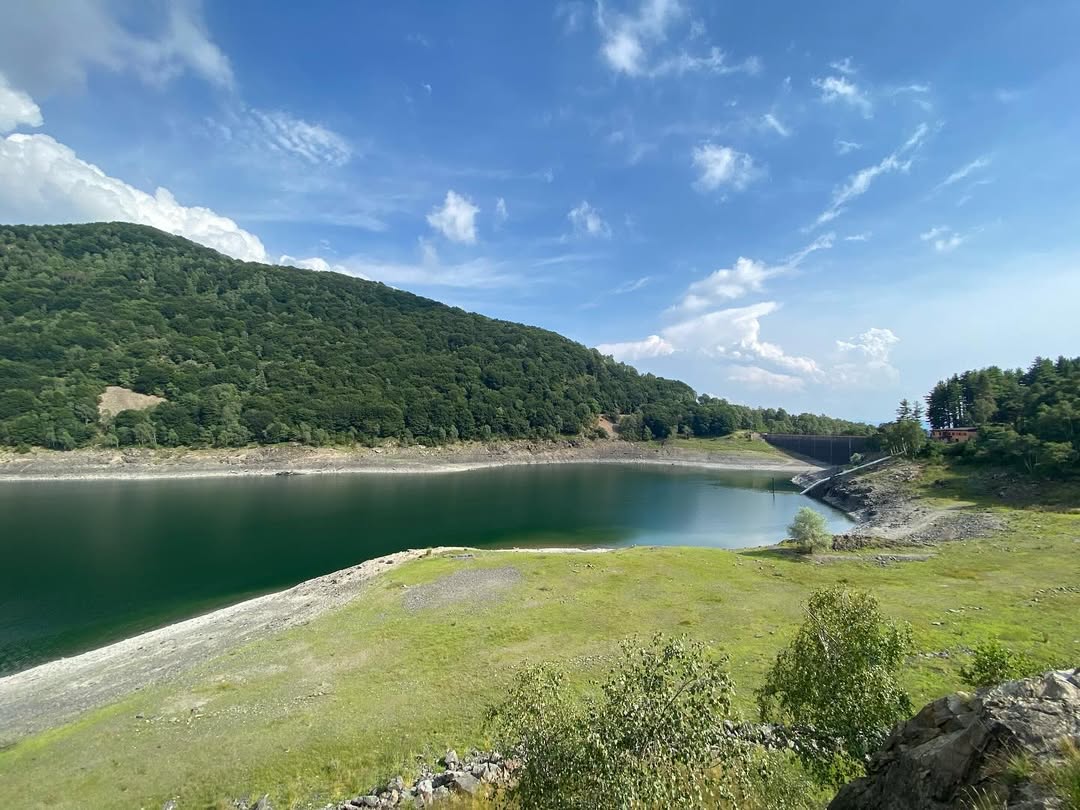
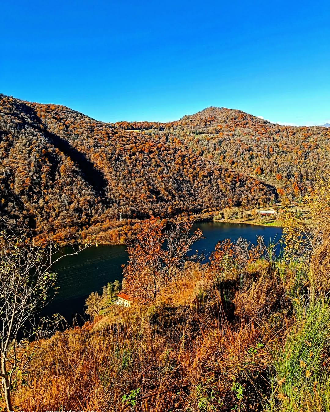
The Mount la Nave route is a ring of approximately 20-30 km with a difference in altitude between 500 and 1000 m, lasting 2-4 hours designed for sports bikers. We start from Lake Lugano and tackle the climb towards Mount Sette Termini along the trenches and positions of the Cadorna Line: from the top you can enjoy one of the most spectacular balconies on Lake Maggiore. The descent crosses a pine forest up to the Montegrino lake, then the return winds through ancient farms and villages overlooking the valley below.
@ulissepiana and @andrewmaxjack
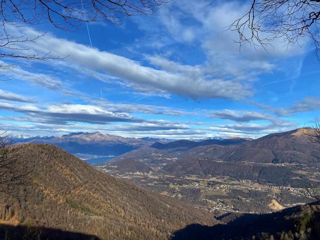
The Mount Piambello route is a ring that has over 100 m of altitude difference, ideal for sports bikers in an estimated time between 2 and 4 hours. It starts from the Hotel Alpino di Cavagnano and climbs up to the summit of Mount Piambello, from which you can admire a breathtaking 360° panorama of pre-Alpine lakes and Alpine chains. The descent towards Boarezzo uses a trail flow in the Cinque Vette Park, then you go up via a military road that crosses the Valle dei Corni and follow a panoramic ridge up to Alpe Tedesco. From there you face the fun routes between red earth, pines and beech forests.
@gea_naturatrekking and @guido3462
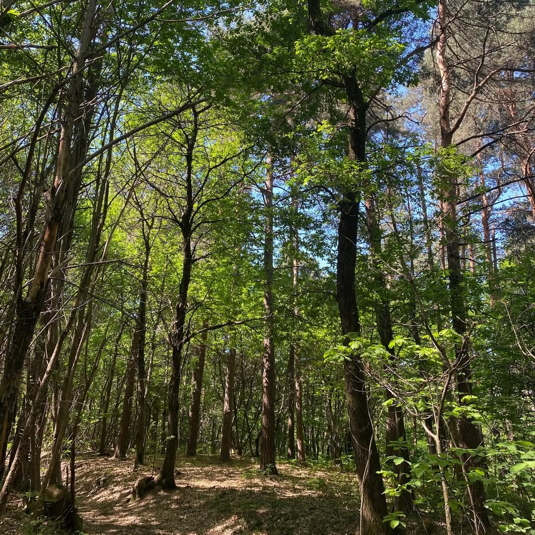
The Mount San Giacomo route starts from Ternate and climbs up to 427 m of the summit, the highest point in the Ticino Park. The short but technical itinerary passes through the historic village of Cuirone, recognized by the FAI, and winds through chestnut and pine forests, inhabited by squirrels, salamanders and tawny owls. Along the way you come across terraces and ancient remains linked to the Golasecca civilization. The descent, challenging and fun, leads towards Mount Ferrera, and then closes the ring returning to Ternate.
@gea_naturatrekking
Complete your journey: reach your destination thanks to Trenitalia