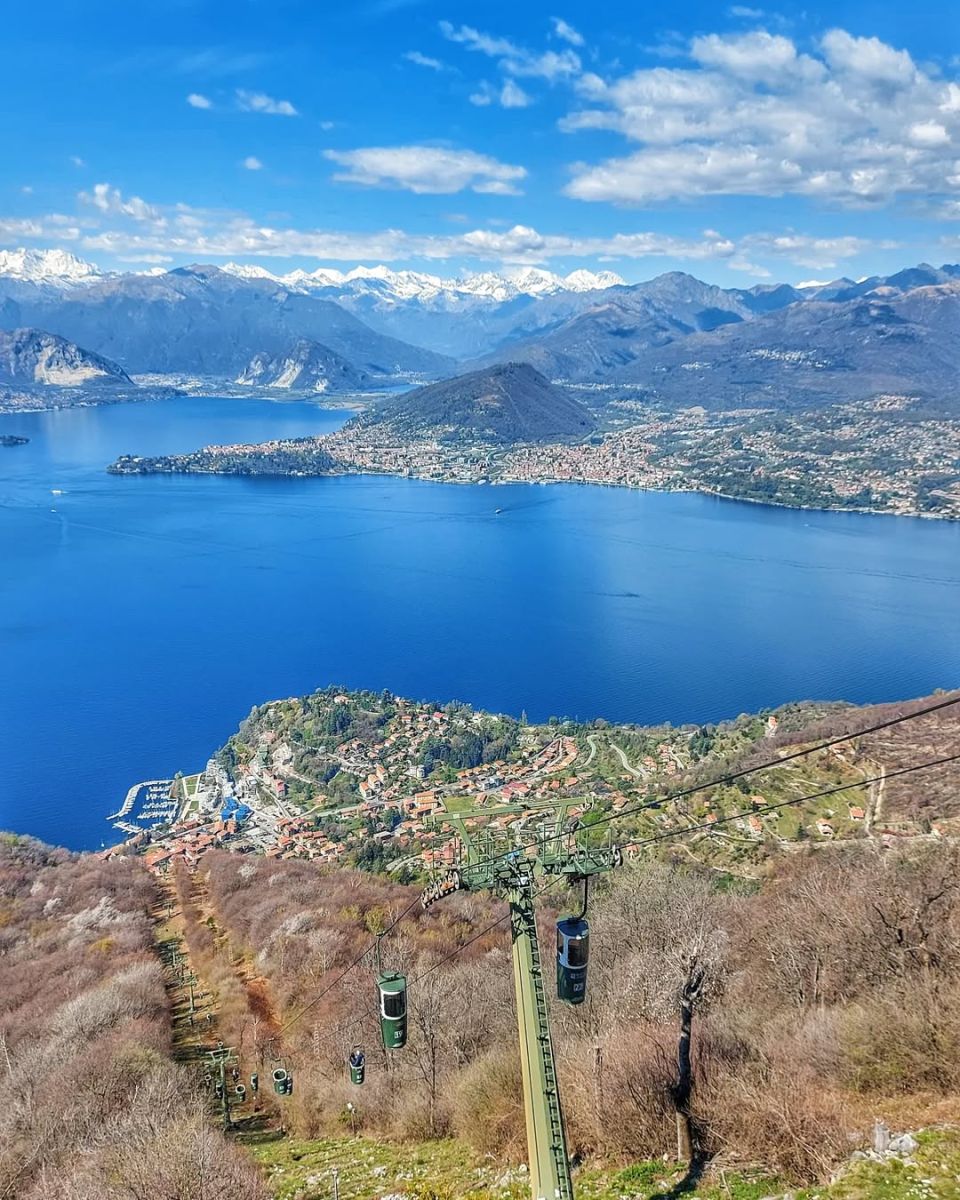
Rising behind the town of Laveno Mombello, the Sasso del Ferro (1,062 m) is one of the most scenic destinations in the Varese Prealps. It can be easily reached by cable car from the center of Laveno, arriving at Poggio Sant’Elsa in just a few minutes, or on foot via a pleasant hike starting from Cittiglio.
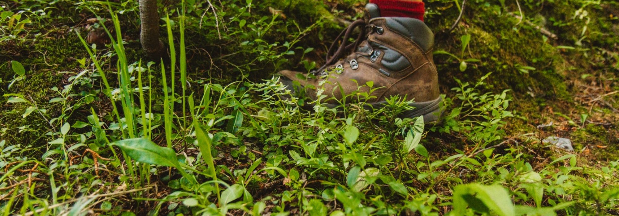
Those who choose to hike up can leave their car along Via Repubblica and follow the route signage. Following the signs for Casere, the trail passes through the oldest part of the village. After the fountain, turning left onto Via Caprera, the path begins to climb steeply, entering the forest and passing small, atmospheric spots such as a wayside chapel and the hamlet of Casere. From here, the route becomes gentler and leads easily to Poggio Sant’Elsa. From this point onward, the views are already wide and spectacular, with Laveno seen from above and the Borromean Islands set in Lake Maggiore.
From the summit of the Sasso del Ferro, the panorama expands even further, stretching from Campo dei Fiori to the Val Grande, all the way to the Alpine chain, where the unmistakable silhouette of Monte Rosa stands out.
@explorateur_zh
DETAILS:
- Duration: 2h climb, 1h downhill
- Distance: 10.5 km
- Difficulty: medium
- Altitude: 840 m
- Starting point: Cittiglio
- Arrival point: Poggio Sant’Elsa
- Parking: yes
AROUND HERE:
*It is recommended to use GPS.
Complete your journey: reach your destination thanks to Trenitalia