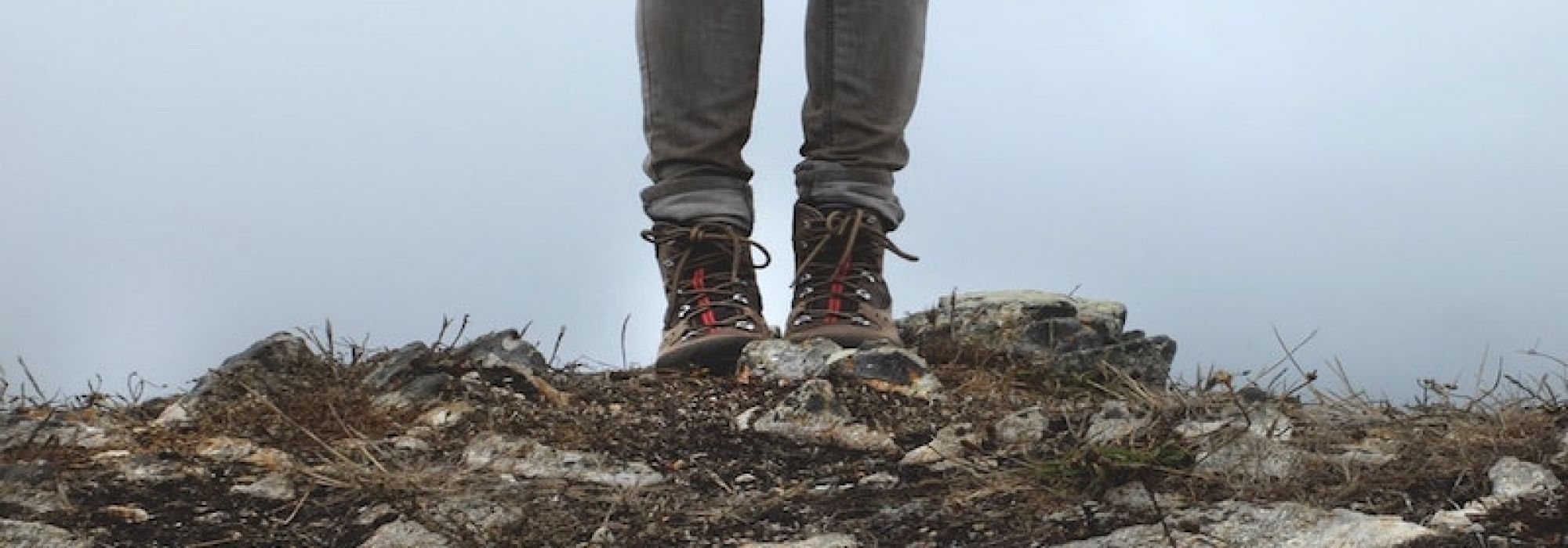
The walk begins in Pozzolo, one of the historic hamlets of Gavirate, a village with ancient roots where time seems to flow more slowly. The atmosphere is that of traditional rural settlements: the route starts gently, passing an old washing fountain and winding through the first streets of the village, among quiet corners and rural views.
Leaving the village behind, the trail gradually climbs toward Cà dei Monti, as houses give way to nature. The road becomes wider and more regular here, following the side of the valley through woods and silence, with a steady and well-balanced ascent that is never overly demanding.
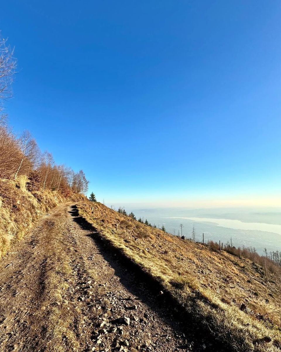
Upon entering the Riserva Naturale del Campo dei Fiori, the landscape changes noticeably. The path crosses the striking “Strada Rossa,” where the soil takes on deep reddish tones and the trail seems carved into the mountain. From here, the climb becomes more challenging but also increasingly scenic and rewarding.
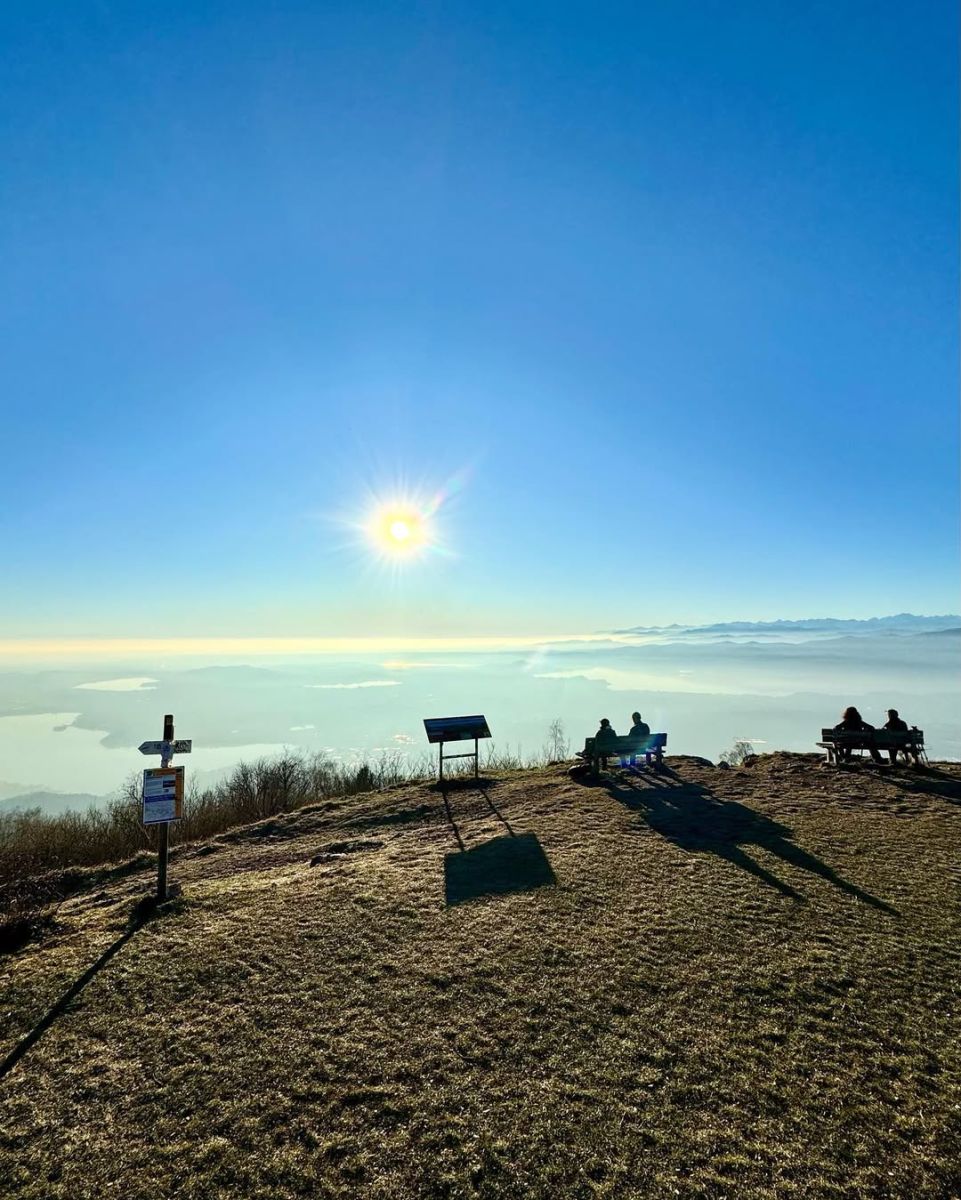
After passing Prà Camaré, the route joins the final section of the old military road, which leads through a series of hairpin bends up to the summit. The Forte di Orino stands at the top, a former stronghold of the Cadorna Line and now one of the most impressive panoramic viewpoints in the area.
From the summit, the view opens up in all directions over the Prealps, the Piedmontese Alps, the plains, and the lakes of Varese, offering a truly memorable conclusion to a varied and highly scenic hike.
@lucchinialessandra
DETAILS:
- Duration: 3 hours
- Distance: 4 km
- Difficulty: difficult
- Altitude: 800 mt.
- Starting point: Pozzolo (Gavirate)
- Arrival point: Orino fort
- Parking: yes
NOT TO BE MISSED:
*It is recommended to use GPS.
Complete your journey: reach your destination thanks to Trenitalia