The route starts from Bedero Valcuvia (522m), also known as the "Balcony of the Valcuvia", as it offers a remarkable view over the entire valley below.
The path N. 16 starts right from the town of medieval settlement, as can still be seen in the church dedicated to S. Ilario Vescovo.
It starts from via Ganna, and not far away we can leave the car in a large parking lot, we cross the SP 11 where at the corner with via Valleggia a sign signals the beginning of the path N. 16 that leads to Monte Martica.
From here you go down and at the fork you turn left into Carbone until you reach the locality of Val di Lorino. After a hundred meters, turn right, following an asphalted uphill road. The road ends at the top of the climb.
Continue past the alveolo of the Riale del Valleggio, going up the ridge obliquely until you reach a plateau. From here the path becomes steep; proceed along the furrow of the upper Valle del Valleggio until you reach path N. 15 (Brinzio-Ganna) that you follow for a few hundred meters.
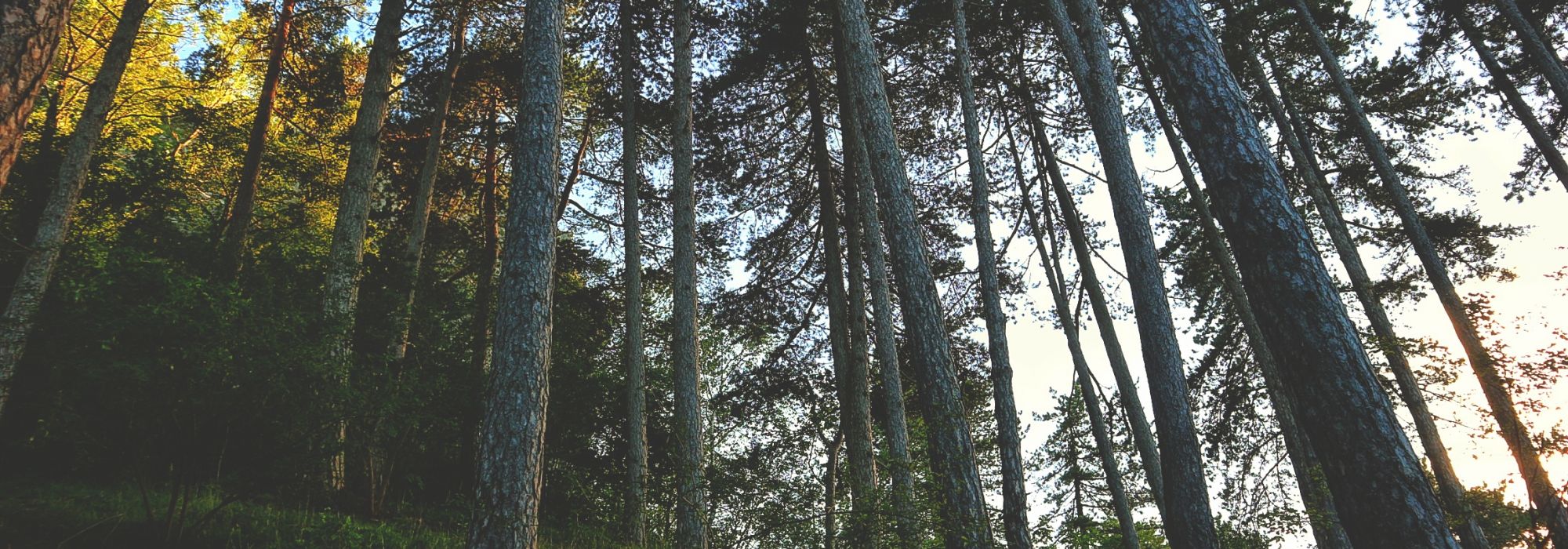
Then you take the path of path N. 16 on the right proceeding through the woods for some hairpin bends. This leads to Magolcio and continues uphill, along the crest of the mountain, for a short but tiring and demanding section on a steep slope, until reaching the eastern peak of Mount Martica at an altitude of 1032 meters.
On the top of the mountain we find a fortified square called Fortino Orientale originally intended to be used as an artillery post of the network of roads and fortifications called Linea Cadorna
DETAILS:
- Duration: 2 hours and 50 minutes
- Distance: 4 km
- Difficulty: difficult
- Altitude: 510 mt.
- Starting point: street Ganna, Bedero Valcuvia
- Arrival point: Monte Martica
- Parking: yes
Complete your journey: reach your destination thanks to Trenitalia