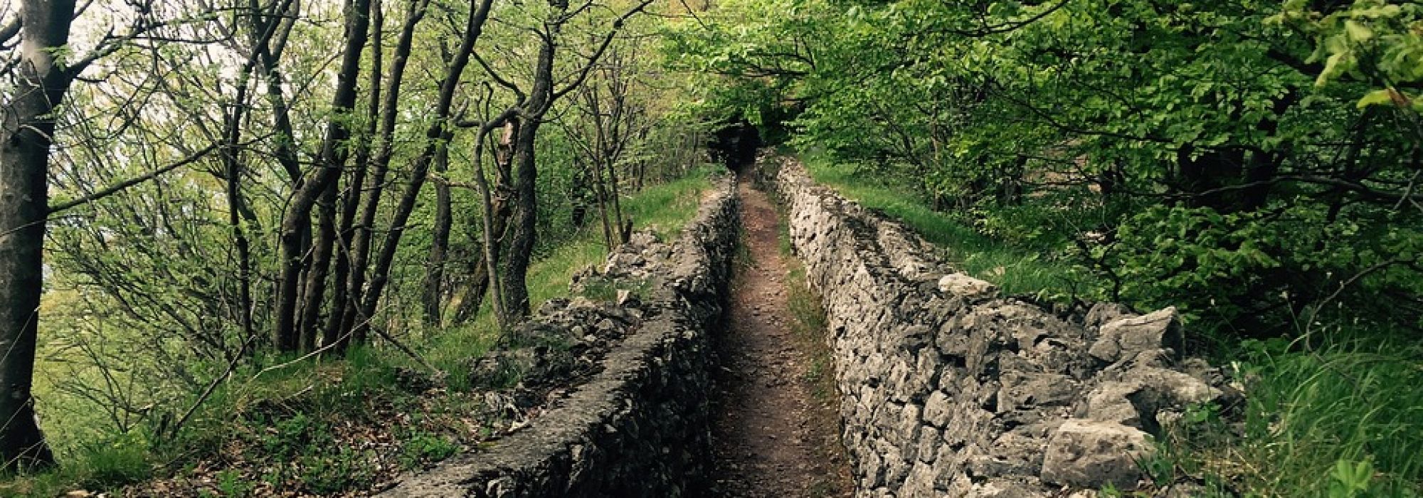
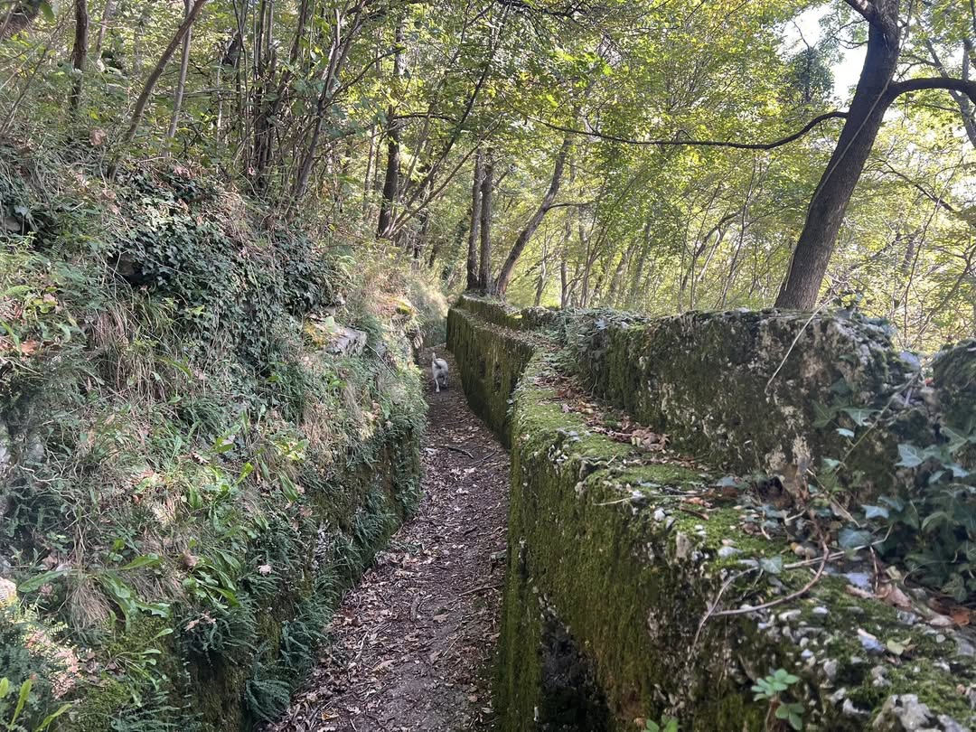
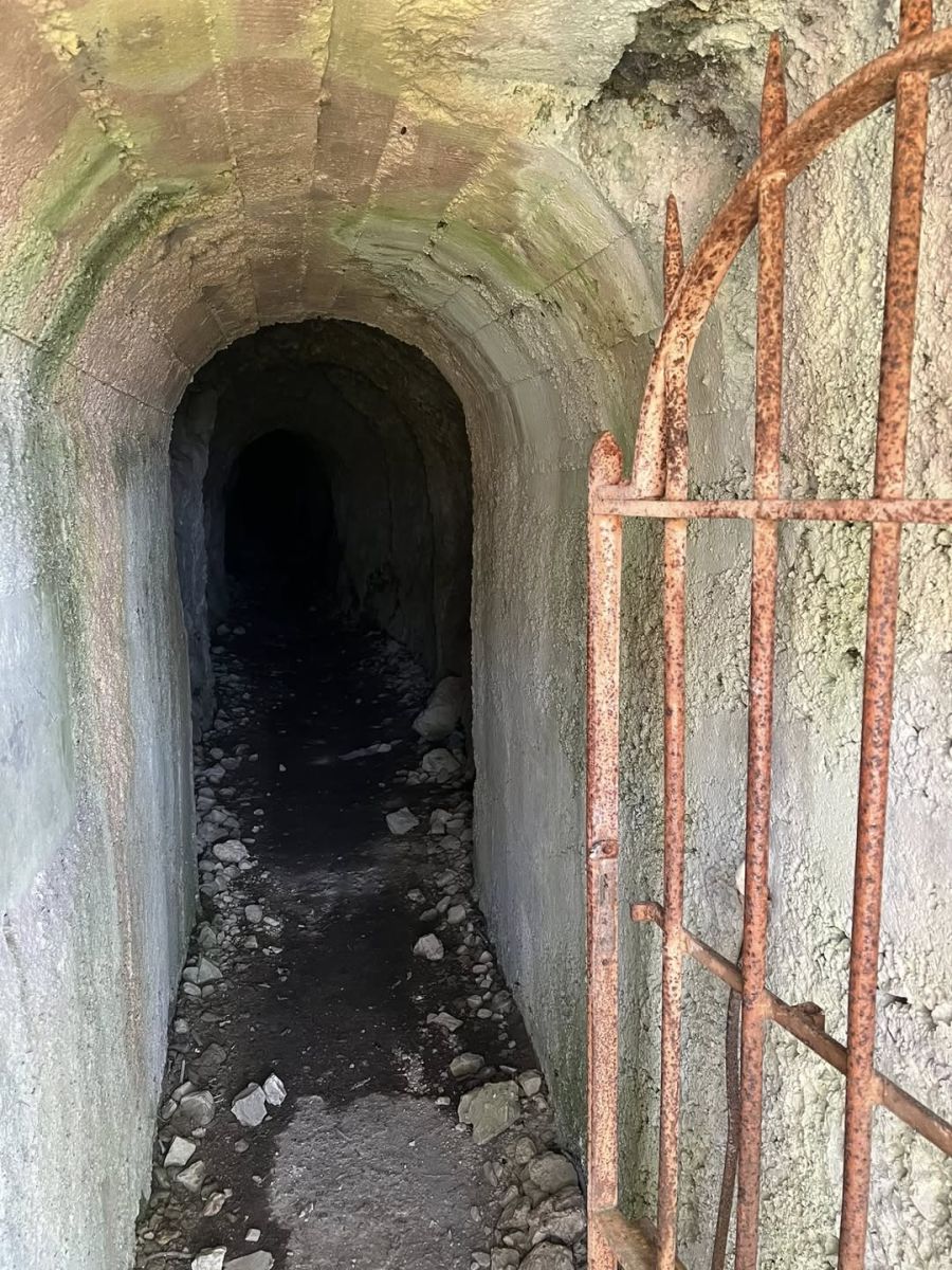
This itinerary offers a walking experience in which the natural landscape intertwines with the traces of history. Along the ridge between Monte Orsa and Monte Pravello (1,015 m), visitors encounter the military structures of the Cadorna Line (Itinerary no. 2), still well preserved and seamlessly integrated into the landscape: trenches, bunkers, and defensive positions that bear witness to the past and make the hike particularly evocative.
The route starts in the village of Viggiù, following the signs dedicated to the Cadorna Line. The ascent leads toward Colle Sant’Elia until reaching the beginning of the Alpini Trail, from where the path continues through the forest, always well marked, along the ridge.
The summit of Monte Pravello offers a magnificent panorama over Lake Ceresio and the Prealps surrounding Lugano. Continuing toward Monte Orsa, hikers encounter the fortifications, accompanied by explanatory panels, which make the stretch between the two peaks one of the most fascinating sections of the itinerary.
From the summit of Monte Orsa, the view extends far into the distance, from the hills of Brianza to the Swiss Alps and the mountains of the Ossola region. From here, the route returns to Viggiù, following the signs to complete the circular trail.
@seguiilcammino
*The path is part of the itinerary n. 2 of the Cadorna Line
DETAILS:
- Duration: 4 hours
- Distance: 7 km
- Difficulty: medium
- Altitude: 550 mt.
- Starting point: Viggiù
- Arrival point: Monte Pravello
- Parking: yes, free
*It is recommended to use GPS.
Experience nearby:
Complete your journey: reach your destination thanks to Trenitalia