Press [ esc ] or close+
Distance: 22.6 km • Time: 4 hours and a half • Difficult
The start and finish of the itinerary are in Casalzuigno. Continue uphill toward Arcumeggia. After the built-up area, a long plateau leads to the fork on the right for San Michele, reached after beginning the descent. Circling back about 200 metres, take the Sentiero del Fondista (path 3V) and follow it until it crosses the military road that comes up from Mesenzana and, on the right, climbs to Forte di Vallalta and then up to San Martino at the summit, continue uphill on the military road. After about 300 metres, you will see the ruins of the former Cadorna Barracks on the left. Reach the summit of San Martino, you will find the Church and the Refuge, the Shrine slightly lower. To finish the itinerary, descend about 700 metres and take the military road on the right that leads back to the road connecting Arcumeggia to San Domenico.
MUST SEE:
DETAILS
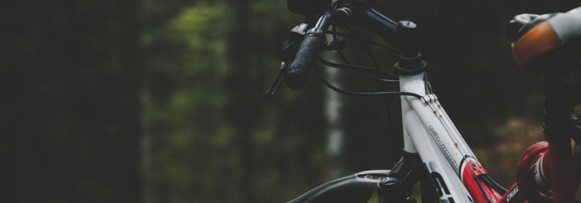
mountain bike itinerary
Source: cyclinglagomaggiore
Complete your journey: reach your destination thanks to Trenitalia


Receive quotes, information and assistance for planning your perfect event or trip.