The village of Velate is a very old hamlet, or castlery, that was part of the city of Varese. Velate is in a quiet, peaceful setting far from the busy streets of the city centre and other main roads. The oldest part in the centre of the village features old houses dating back to the fifteenth century, impressive residential villas and a mediaeval parish church dedicated to St. Stephen. Velate is probably best known for its famous tower which was built at the beginning of the millennium and is set back from the village.
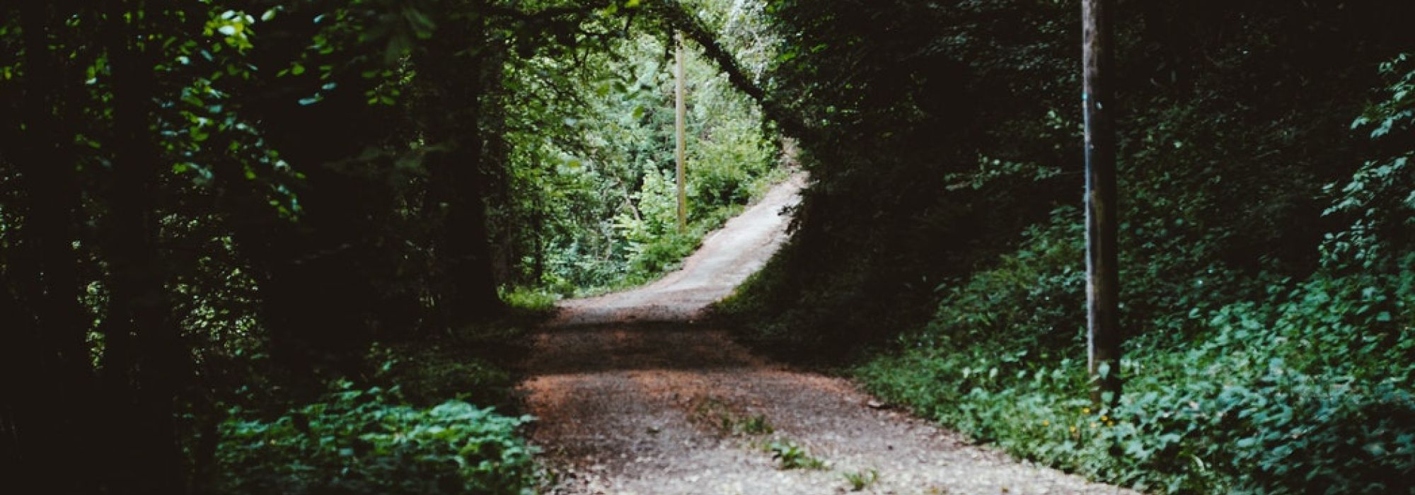
To find the start of the No. 9 trail cross Piazza S. Stefano and pass Piazza Rizzi until you get to the start of Via Adda. Continue along Via Adda and past the water-power plant for the A.Spe.M. aqueduct, where you will find a turning to the right that leads to the top part of the Vellone valley. Here the No. 9 trail climbs off up to the left.
The trail continues to climb through some coppiced woods until it meets the tarmacked road that leads to Campo dei Fiori and into the Campo dei Fiori Regional Park.
Following the trail to the left for about twenty yards or so takes us to the top of Mount San Francesco (793 m / 2602 ft) where we find the ruins of several buildings. You can make out the foundations of a tower on the peak; this tower was one of many in a system of forts used to pass on signals which includes the “Torre degli Ariani” (the Arians’ Tower) on Sacro Monte. Nearby you can also see the ruins of a church and next to this church was a small friary known as the Monastery of San Francesco in Pertica. The friary was first occupied by the Franciscans and later by monks belonging to the Order of St. Ambrose known as Fratres Sancti Ambrosii ad Nemus. The friary and the church were abandoned around 1500.
After the ruins of the friary the trail descends steeply down the southern side of the mountain through coppiced woodland with chestnut trees to “Fael”, which is about 630 m (2067 ft) above sea level.
Continuing downhill we meet a cart track and then return to Via Adda on which we head back into the village of Velate, where the trail ends.
DETAILS:
- Duration: 2 hours
- Distance: 4 km
- Difficulty: medium
- Altitude: 282 mt.
- Starting point: Velate
- Arrival point: Monte San Francesco
- Parking: yes

