The route starts at Cocquio Trevisago. The starting point of the path n. 17 is in via G. Marconi in front of the Ferrovie Nord station.
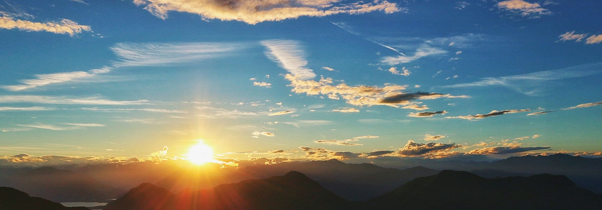
Go along the Via Stazione then, through the Street for Caldana climb up the stairway from whose top you can see in the distance our destination, the peak called Forte di Orino (1139 m.).
Follow the SP 39 for a hundred meters, then take Via Contrada Carnisio on the right. Continuing uphill, through the Via Contrada San Bernardo with a panoramic view of the Ossola Alps and Monte Rosa, you get to Cerro, another hamlet of Cocquio T.
Leaving the village, along Via Castagneto for a hundred meters, you come to a crossroads: continuing straight you can reach the village of Orino while the path 17 continues on the right following the path of the path n. 10 (Velate-Orino). Going up the slopes of the mountain you get to a crossroads where you continue straight, continuing to climb up to reach another intersection where the path n. 17 continues, still straight, continuing smoothly towards altitude 1000 m.
At this point our path intersects with the path of trail N.13 (Gavirate-Forte di Orino) and N.11 (Comerio-Forte di Orino), going up to the Military Highway that after some hairpin bends us to the summit called Forte di Orino to 1139 m.
DETAILS:
- Duration: 3 hours and 30 minutes
- Distance: 6,5 km
- Difficulty: difficult
- Altitude: 870 mt.
- Starting point: Cocquio Trevisago
- Arrival point: Forte di Orino
- Parcking: yes